The Future of Movement Monitoring
In September of 2021, we proudly announced the start of Basetime, a joint venture of SODAQ and Richtlijn Geodesie. Together, we’re combining the power of geodesy and IoT. Basetime is the result of 3 years of development coming to fruition. The first product launched by Basetime was the Locator One, which can be used to automatically and remotely measure the movement of settlement rods, with more precision than ever before. The device delivers accurate, reliable, and securely collected data at any desired time. It is time for you to become acquainted with this innovative company.
Safety and sustainability
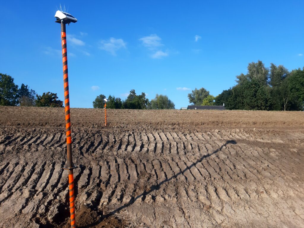
The technology used for the Locator One is not only very accurate, but also contributes to sustainability, and improves safety. The Locator One is equipped with a solar panel and a supercapacitor, which eliminates the need for batteries and drastically reduces the man-hours needed for maintenance. This could reduce the number of people on construction sites, effectively decreasing the possibility of accidents occurring. It also reduces general travel, and in doing so reduces CO2 emissions.

Successful pilot projects
The past year, Basetime conducted pilot projects with four renowned construction companies: Ballast Nedam, Boskalis, Heijmans, and Van Oord. This resulted in valuable insights on connectivity, determining the distance between the Locator One and ground level, the processing of data, and the requirements that are set for the device itself. All of these findings were incorporated to improve the device and the geodetic algorithms. The success of these pilot projects has been proven by the use of the Locator One for projects by certain construction companies.

The first placements
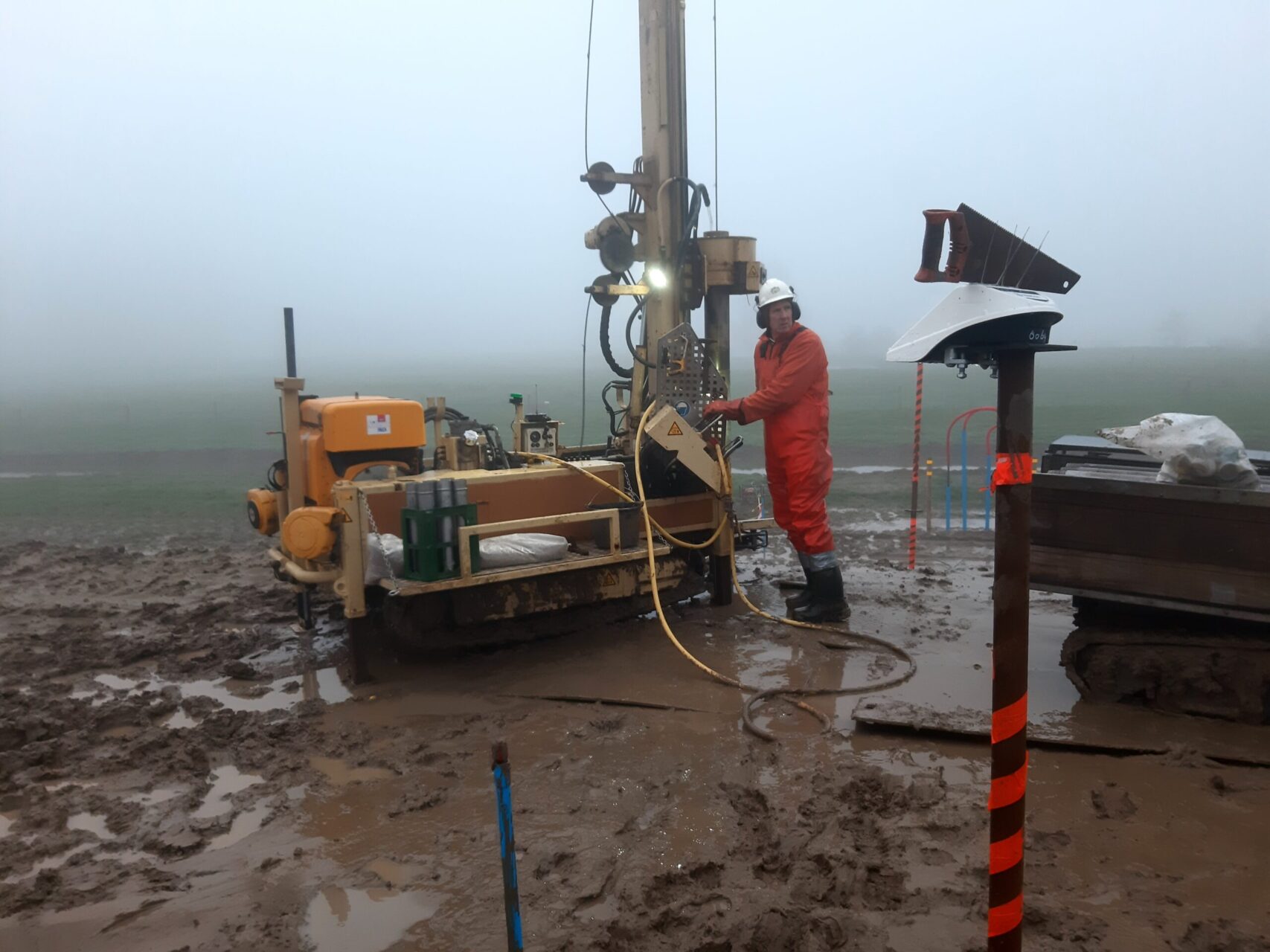
After the summer of 2021, Basetime installed more than 180 devices for the Gorinchem-Waardenburg dike improvement project in the Netherlands. Over the next five years, the entire 23-kilometer dike between Gorinchem and Waardenburg will be raised, widened, and reinforced. In order to maintain control over the embankments during construction, the dike is normally measured by a surveyor. Due to the slippery nature of the clay soil which can be found along the dikes, carrying out this task comes with certain risks, with collisions and tripping occurring on a regular basis. The necessity for safety, together with the desire for innovation, proves the Locator One to be the ideal application for this project.
The devices are mounted on the settlement rods and measure both the settlement of the base plate and the thickness of the applied embankment. The raw data is received in Basetime’s cloud environment, after which it is processed in their calculation environment into reliable coordinates and other information that geotechnical departments require. Finally, the data is linked via an API to the management system of the geotechnical department, where they can immediately analyze all information from behind their desk.
A bright future
In the beginning, the Locator One could only be purchased. However, because of the recent partnership with Boels Survey & Laser, the Locator One can now also be rented or leased. Aside from this, there are still many more developments yet to come. At this moment, the focus is on the Netherlands and Belgium, but this will be expanded to the rest of Europe and the United States. The main goal for Basetime in 2022 is to establish a breakthrough in the world of settlement measurements. In addition, the plan is to discover additional use-cases in which the functionality of the Locator One can be applied. But the most important is to gain a reputation as a reliable partner who values quality and results.
Want to follow the latest Basetime developments? Check out basetime.xyz or follow Basetime on LinkedIn.